Services
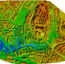
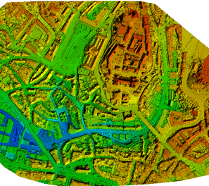
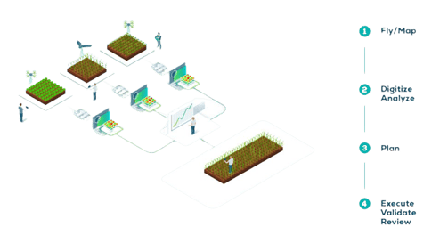
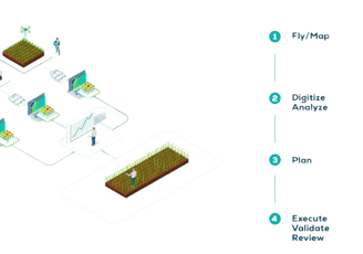
Agricultural Mapping and Crop Analysis
Inspect, analyze and visualize your crop changes all year round using images taken from drones to generate reliable maps that tell you about the state of your crops and stress hotspots in your fields, with photos captured by specialized multispectral and RGB cameras.
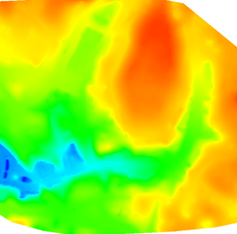
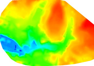
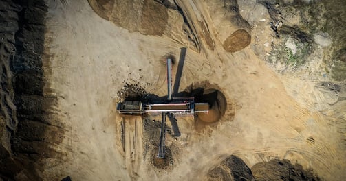
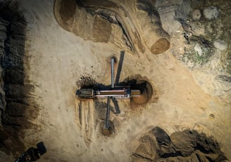
Stockpile Analysis
Using drones to measure gravel pits enhances efficiency and accuracy, allowing for cost-effective and precise volume calculations while minimizing safety risks associated with traditional surveying methods.
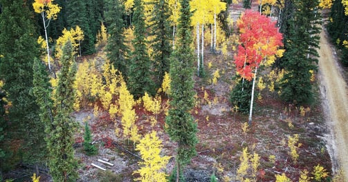
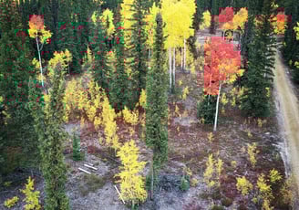
Aerial Photography
Drones offer a cost-effective way to capture aerial photographs from various angles and heights, providing breathtaking and dynamic perspectives that were once prohibitively expensive or impossible to achieve.
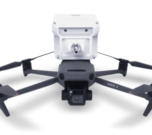
Gas Detection - Coming Soon
Drones equipped with gas detection sensors provide a safer and more efficient means of identifying and monitoring gas leaks in industrial environments, reducing human exposure to hazardous gases.